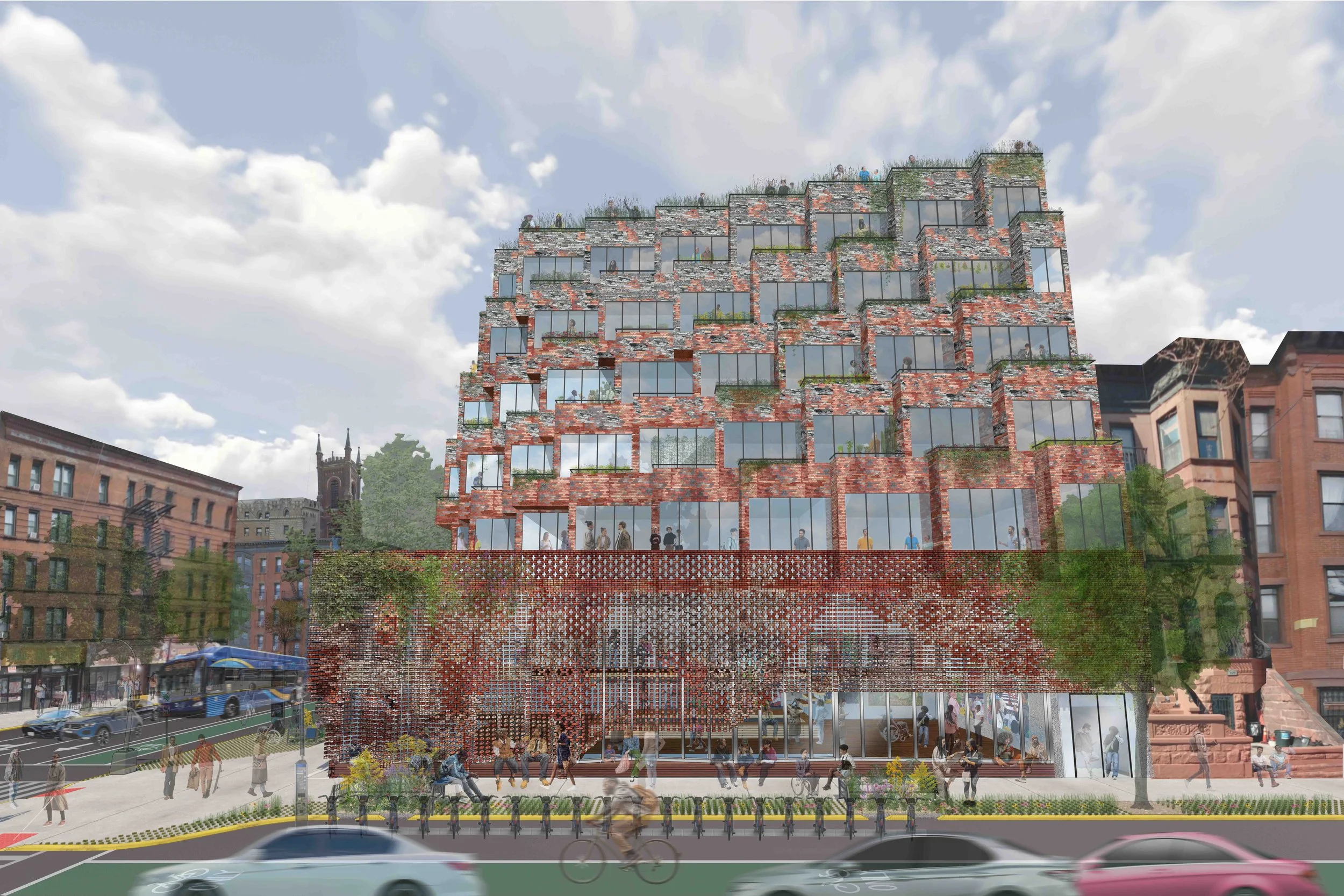

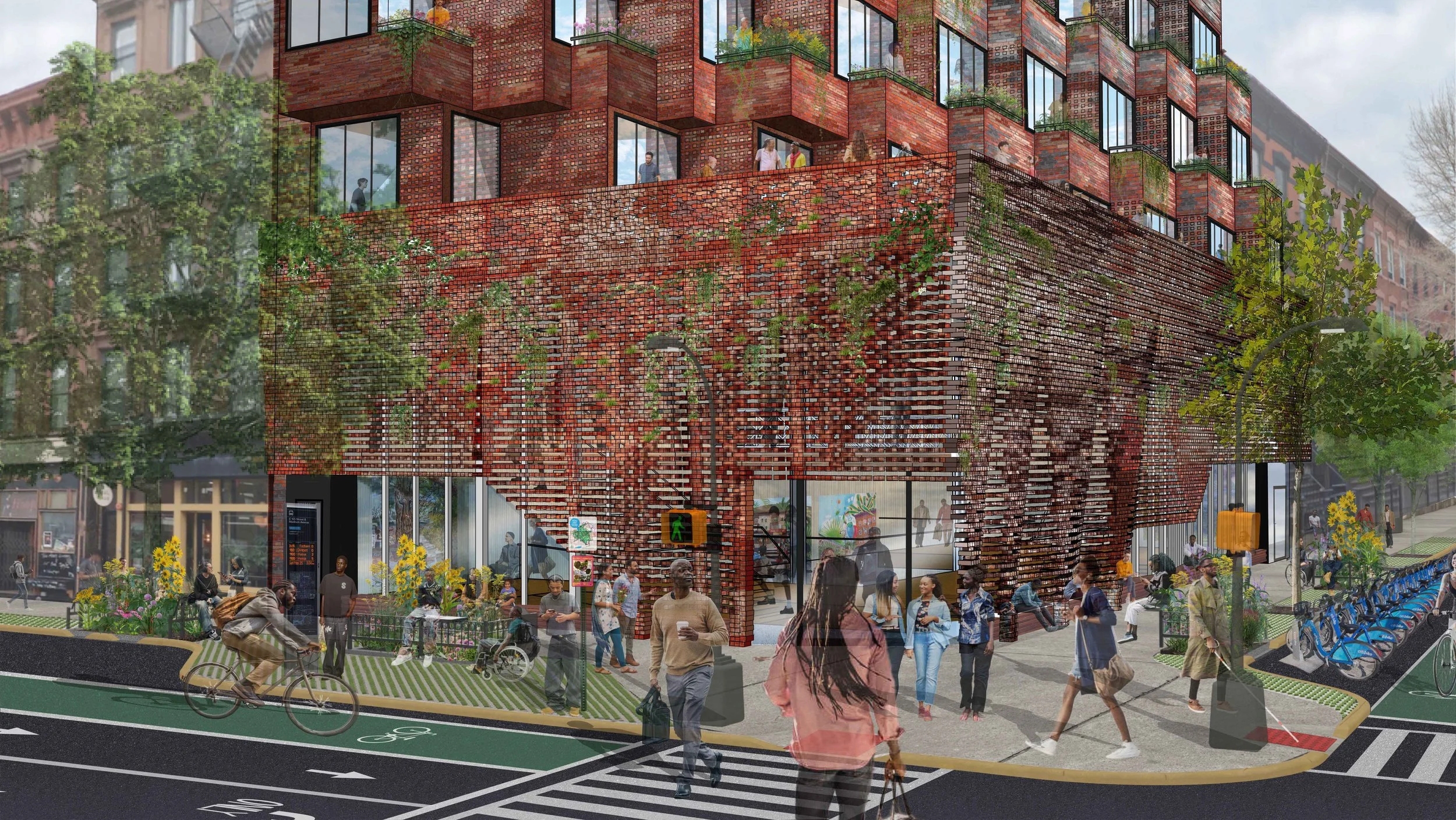

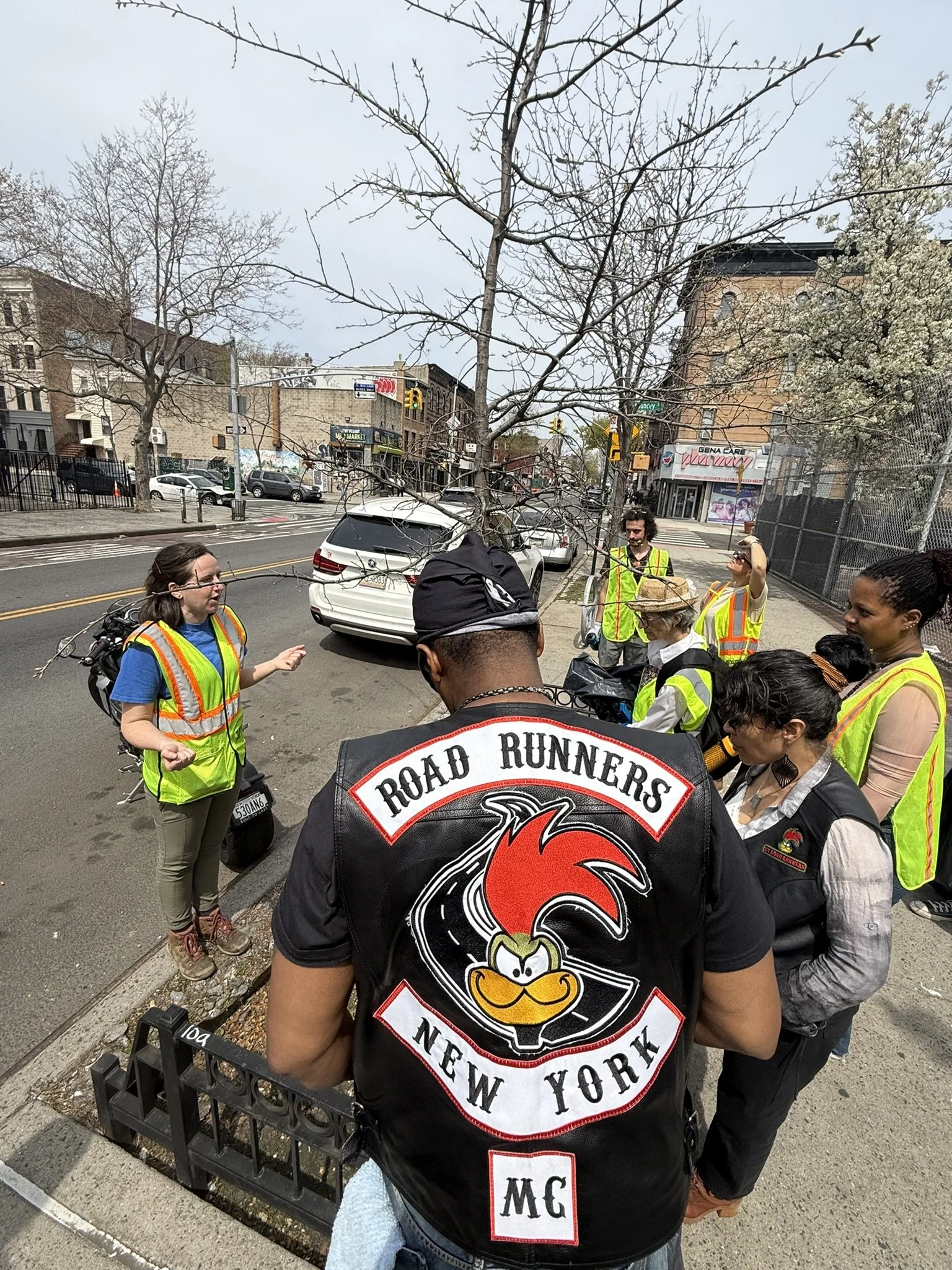
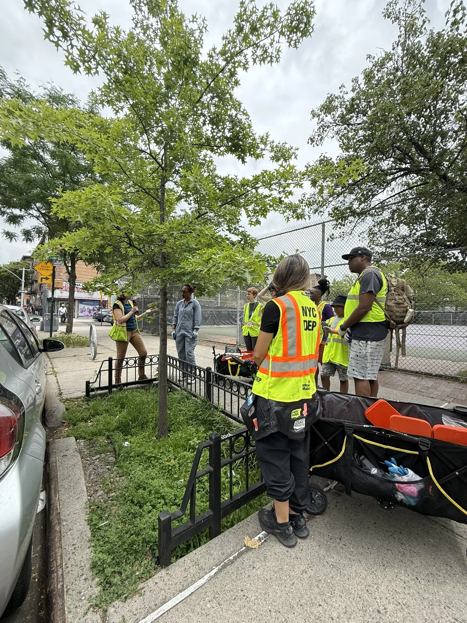
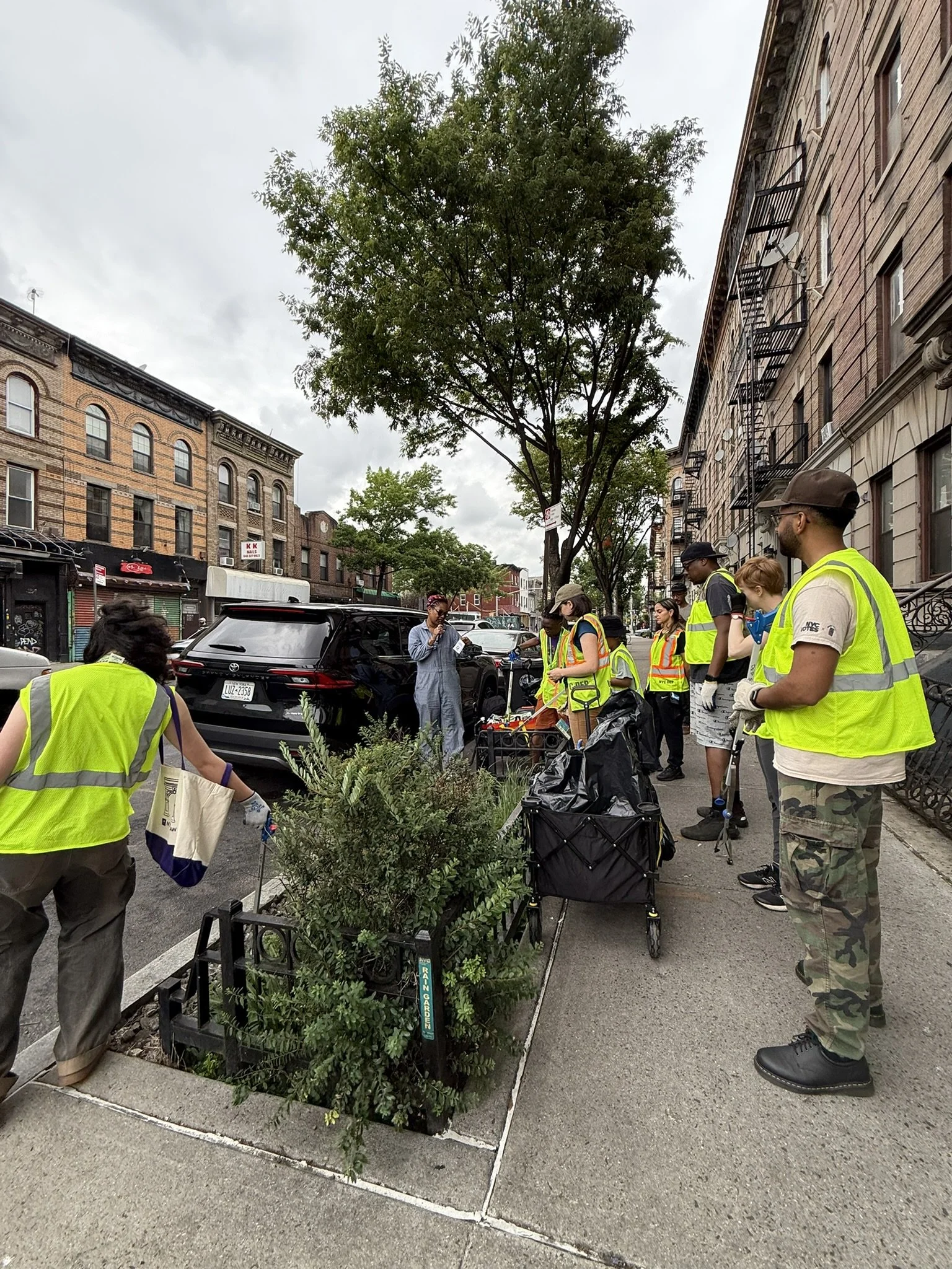
Ten to One and GrowHouse Community Design + Development Group are collaborating on a network of Community Resiliency Centers and Resilient Roots Corridors weaving throughout Central Brooklyn. We have inaugurated this holistic and scalable urban ecological infrastructure project with the participatory stewarding and networking of the Resilient Roots Gardens, with the NYC DEP, currently encompassing 20 public right-of-way rain garden basins along the historic path of Weeksville’s Hunterfly Road. The Resilient Roots Garden Corridors revitalize latent infrastructure to create community-stewarded micropark spaces that benefit local environmental and cultural resiliency. The Corridors project is incrementally expanding to 200 gardens by 2027 in a distributive network weaving throughout Central Brooklyn representing a ⅓ acre, 20% increase in local park space as community-managed resilient and restorative urban ecological infrastructure.


![summer view [Converted]-01 lr.jpg](https://images.squarespace-cdn.com/content/v1/5a356cf851a584e429869f84/1738173034103-V7LSH3LECAT042W9TFUE/summer+view+%5BConverted%5D-01+lr.jpg)

![winter view [Converted]-01 lr.jpg](https://images.squarespace-cdn.com/content/v1/5a356cf851a584e429869f84/1738173036187-1LVUBGQXC47QSIPZOPO1/winter+view+%5BConverted%5D-01+lr.jpg)
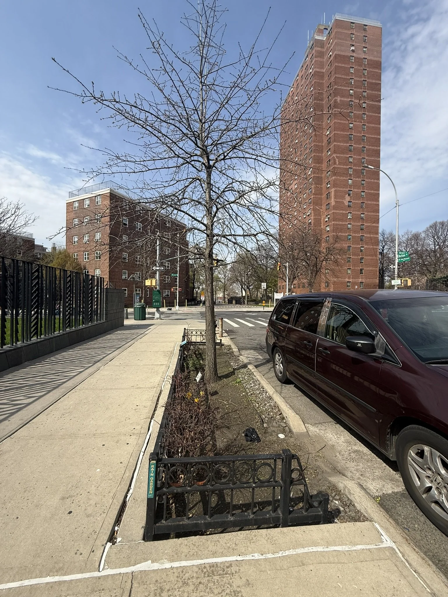
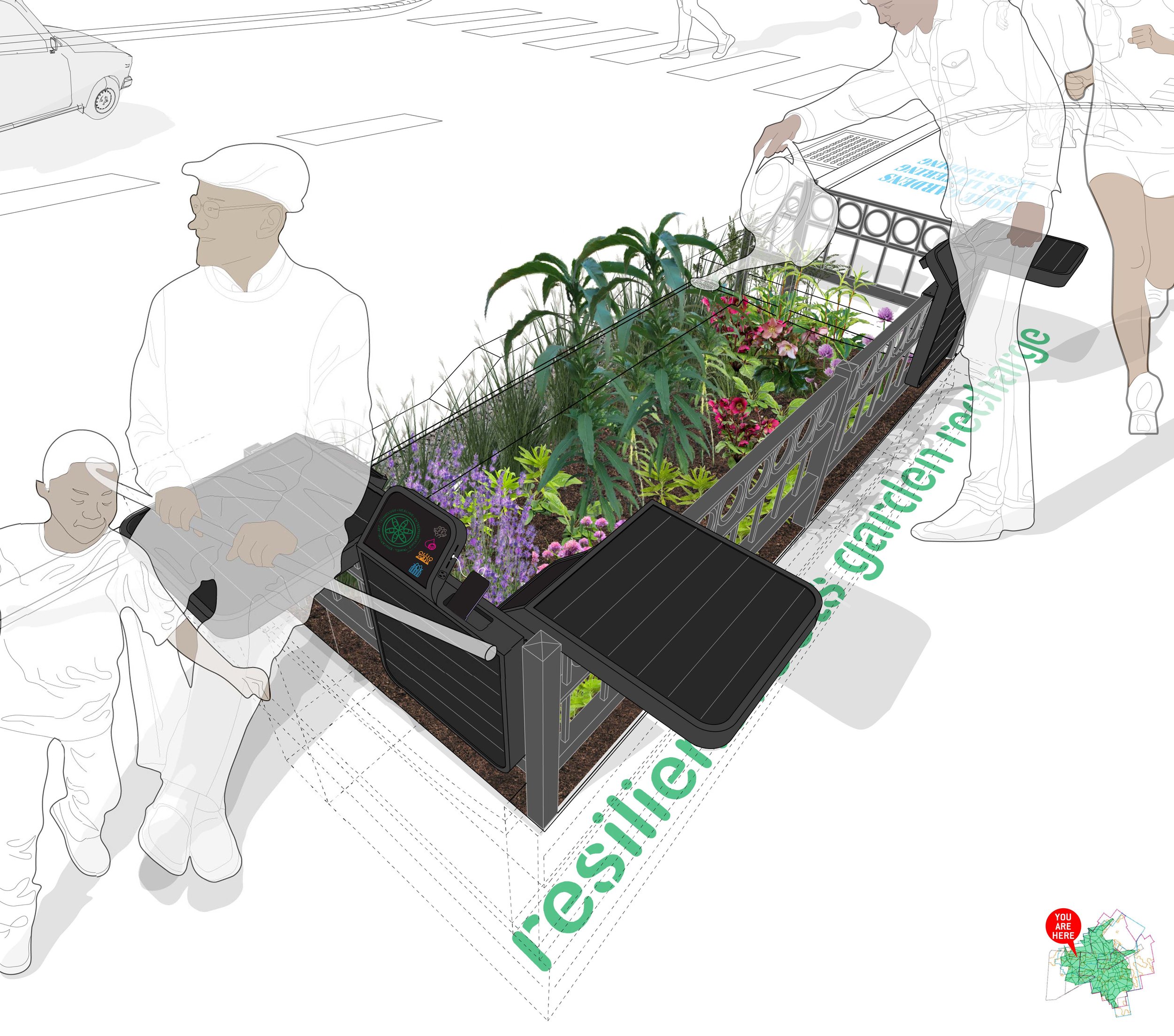
The Resilient Roots Gardens reduce stormwater CSOs and are leveraged for local resiliency to reduce street flooding, sequester and bioremediate airborne and runoff pollution, reduce waste and energy usage, improve air quality and cool urban heat islands. Through community engagement and product design, the Gardens provide micro-grid solar power, modular seating, info-graphics providing community resources and networking, cultural history, environmental education, green economy employment and social engagement and placemaking. The Gardens monitor stormwater volume, air and soil pollution levels and temperature, feeding reciprocal data back to Map Sampling which visualizes climate and pollution mitigation, shade and energy islands, increased green space and layers of social and environmental networking.

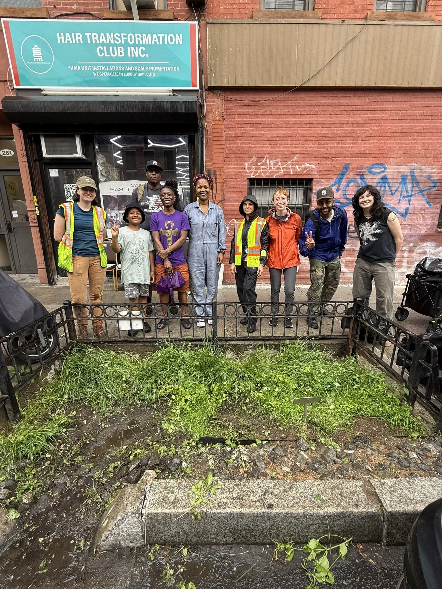

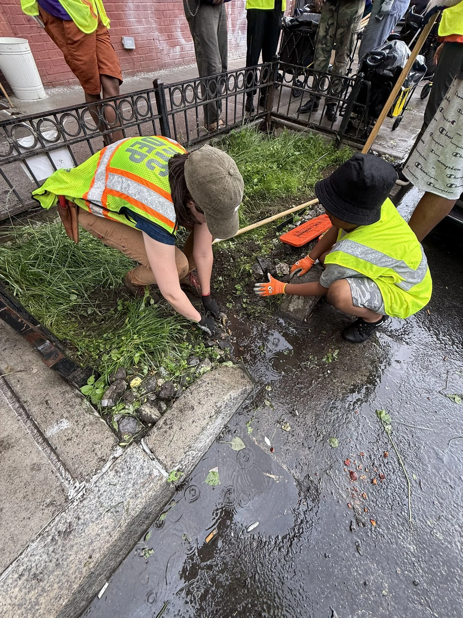
One by one, through scalable implementation of the wider network, gardens will be managed and stewarded by Ten to One for All, GrowHouse, DEP and community volunteers and green economy youth and leadership program interns and employees, with the goa. Stewardship includes enhancing the existing soil with toxin-sequestering microbes and adding drainage-friendly soil and compost. Where feasible, trees are planted for heat island shading as well as further airborne toxin sequestration. Plantings will be selected and locally curated for their pollutant sequestration and phytoremediation properties as well as being resilient pollinators, across a spectrum of sizes and flowering blooming. Modular retractable seats, housing a durable solar array, are installed seasonally for community recreation and gathering, garden care, micro-grid charging and lighting for every day and emergency use, environmental monitoring and info-tablets. Infographics will also be posted on existing fencing and sign posts and stenciled on the surrounding sidewalks teaching climate resilience providing community resources, cultural history and environmental resilience.


![summer view [Converted]-01 lr.jpg](https://images.squarespace-cdn.com/content/v1/5a356cf851a584e429869f84/1738802819592-QL8EOR1KQ04PF3SD8ZQW/summer+view+%5BConverted%5D-01+lr.jpg)

![winter view [Converted]-01 lr.jpg](https://images.squarespace-cdn.com/content/v1/5a356cf851a584e429869f84/1738802822429-7HBKVLGQSOXTDP5YHXRW/winter+view+%5BConverted%5D-01+lr.jpg)
The Gardens monitor stormwater volume, air and soil pollution levels and temperature, feeding reciprocal data back to Map Sampling which visualizes climate and pollution mitigation, shade and energy islands, increased green space and layers of social and environmental networking.
Gardens will sequester 50k gallons with a project goal of 10 billion gallons annually, lowering CSOs, pollutants in downstream waterways, sewage treatment energy consumption and vitally reducing local flooding and pollutants in the air and surfaces on local streets and sidewalks. Gardens will have volume monitoring toward the goal of sequestering 15% stormwater runoff per DEP projections and pollutants collected across the majority impervious surface sewershed. Gardens will have installed air and soil monitoring with the goal of lowering Lead and Green House Gas levels to below EPA threshold standards. Temperatures will be monitored to gauge heat island mitigation based on shade pools and distance between Gardens.


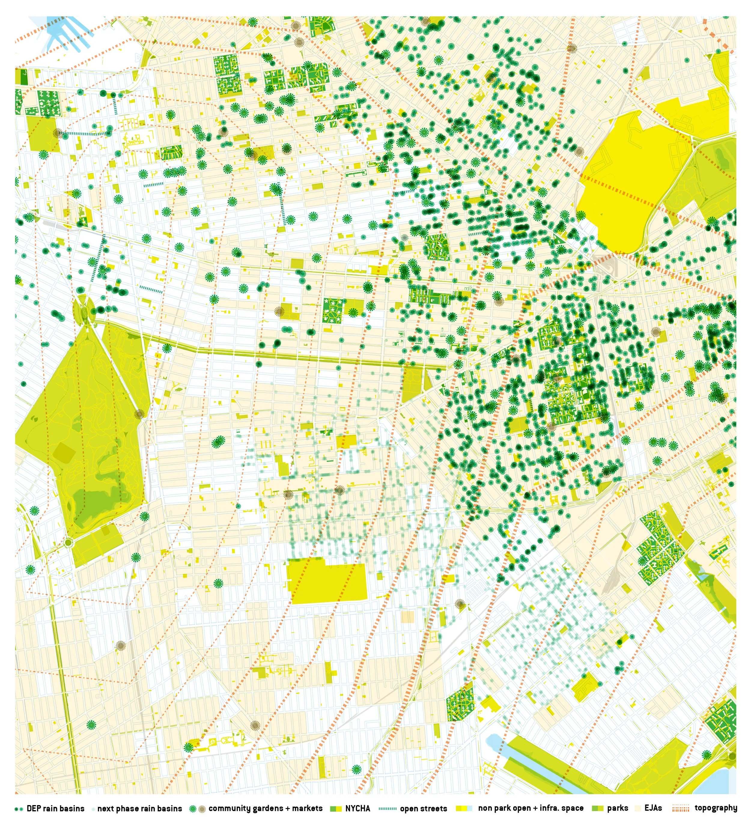


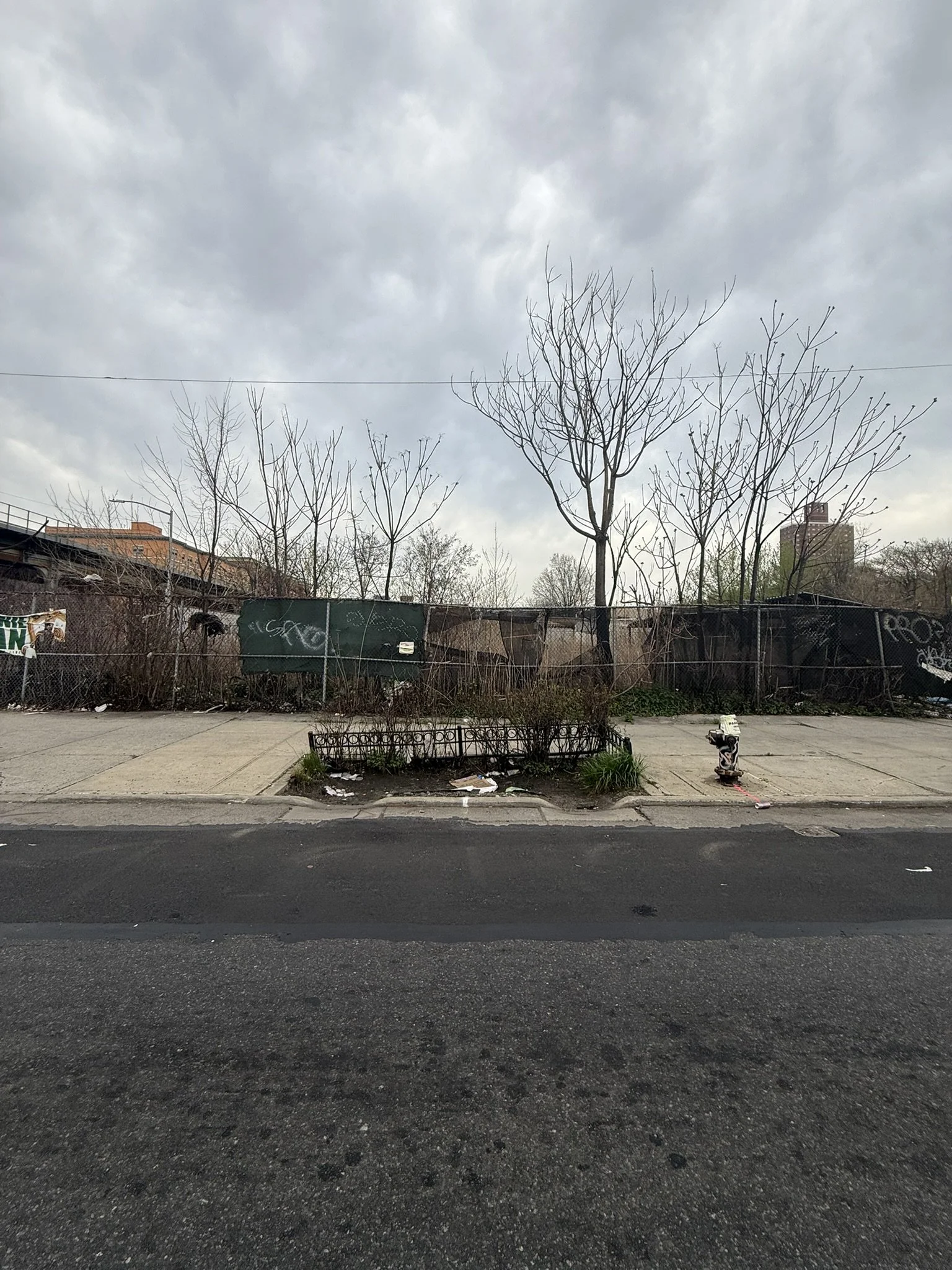
Preliminary Map Sampling determined the Project Area of Central Brooklyn as defined by an overlapping confluence of the highest area of airborne lead pollution in New York City (stemming from transportation routes and depots); street flooding (due to outdated combined sewer stormwater drainage in a gap between original sewershed systems); an abundance of heat islands (due to transportation, manufacturing use and lack of street trees and green space); and an underserved and deteriorated public domain including recently constructed green infrastructure concentrated yet unmaintained and underutilized.
This project stemmed from our Map Sampling project, a collaborative planning tool visualizing social and environmental narratives, inequities and opportunities. Map Sampling recontextualizes systems, histories and future projections to be more user-driven, grass roots, holistic and resilient through the dual lenses of community and institutional knowledge. Map Sampling collects data via GIS and on-the-ground monitoring, overlaying & remixing cultural, social, municipal, infrastructural and ecological geo-data into cartographic provocations and interactive open source planning tools. For this project, Map Sampling has determined our project area to have an overlapping confluence of social, climate and pollution crises plus high concentrations of latent green infrastructure, community-led green spaces and rich but undercelebrated cultural history.
Enhancement of Map Sampling will contextualize histories of these social, climate and pollution crises from initial urbanization to future climate projections, scaled from the local Project Area out City-wide. Map Sampling will also quantify prioritization and networking of particular hotspots of underutilized public infrastructure, specifically the right-of-way catchment basins, with confluences of pressing climate and pollution issues such as flooding, air pollution and heat islands, enabling strategic and prioritized implementation of the Resilient Roots networking.
Projects are participatory, connecting community organizations, community members, educators, designers and builders. Projects are incremental and scalable, from actions to macro and micro urban ecological infrastructures to mobile structures to institutions. Projects are holistic, appropriating institutional knowledge through participatory mapping, networking community organizations and structuralizing climate, pollution, economic and cultural resiliency from the ground up.
Team + Garrick Jones + Alin Kutan + Idil Agcagul + Allyson Quintillan + Oona Ashraf + Shanna Sabio + Warner Sabio